EXIF geodata, and what if you took a picture on the moon?
 posted
 A conversation about staying private and stripping EXIF tags on blogs lead to shdwcat asking the question “what would happen if you took a picture on the moon?”
colin gave some answers starting with GPS logistics. You probably can’t receive GPS on the moon, and even if you can you’re probably outside the consumer gear cutoffs for GPS.
vogon: but if neither of those things happened I assume it would just display you as being at whatever point on the earth you were over, at an altitude of about 1.267 billion feet
However, I figured we could do better than “a point high above the Earth.” If you could state the coordinate system, you should be able to list an actual point on the moon.
I had no idea how to do that though. So let’s take a look:
¶ EXIF
First, what can we do in EXIF? I’ve always had a hard time understanding exactly what fields EXIF can store. Many descriptions focus on the structure over the available keys. But this time, I discovered the perfect resource that I’ve been looking for for years: exiftool.org maintains a clear list of exactly what you can store in EXIF. https://exiftool.org/TagNames/EXIF.html
If we scroll down on that page we find the relevant entry: Tag ID: 0x8825, name: GPSInfo. This entry links to the GPS Tags where we find another nice table of the GPS-specific tags. Most of these specify the latitude, longitude, altitude, and bearing, or they let you annotate the location descriptively. But there was one undescribed property, GPSMapDatum which looked like it might do the trick.
¶ A Map Datum
What’s GPSMapDatum? Well yet again the exiftool site helped me out when I went searching. This time I found an answer on the forum where someone mentions “WGS-84” as a valid value, so we can go look at that. And when we do, we can see that WGS 84 is the current version of the World Geodetic System.
A geodetic datum / geodetic system is a reference feature that maps can be made against. Coordinates mean nothing without an origin and axes, and a map datum lets you define that. Historically, countries and then continents had their own map datums, and then eventually the World Geodetic System was developed which defined a standard approximation for the shape of the earth and reference coordinates. The GPS system uses WGS 84, and people/systems will assume that’s what you mean if you don’t specify otherwise.
I looked at these references:
- https://maptools.com/tutorials/map_datum
- https://epsg.org/home.html
- https://geodesy.noaa.gov/INFO/facts/datum.shtml
¶ Mapping the Moon
What about coordinate systems for the moon? Well, there’s no standard for them accepted like WGS 84. NASA developed a system for the Lunar Reconnaissance Orbiter missions which have been reused outside of that, and is seemingly the most common coordinate system by far.
In 2008, the Lunar Reconnaissance Orbiter (LRO) mission and the Lunar Geodesy and Cartography Working Group (LGCWG) recommended use of the Jet Propulsion Laboratory’s (JPL) DE 421 ephemeris, to be rotated into the ME system, as the ME reference frame for mapping.
— https://www.lpi.usra.edu/leag/reports/ME-White-Paper_Final.pdf
But annoyingly, this coordinate reference system doesn’t seem to have a nice concise name, unless you just use “Mean Earth” (ME) to refer to this reference system. And, there’s no GPS system to give you coordinates here…
¶ Lunar GPS development
But people are developing it right now. You can read about agencies preparing to deploy lunar GPS satellites. And you can read about the NGA developing the Lunar Reference System as a standard coordinate system for deployments like that. Unfortunately, as with so much of space exploration, it’s the military. (Even WGS 84 here on Earth was substantially developed by the US military for GPS purposes.)
¶ The Answer
Specify a Lunar coordinate system in the GPSMapDatum field and you can have proper coordinates on the Moon for your photos. Right now, there is no standardized value appropriate for the moon. Your best bet right now is probably the LRO ME coordinate system. In the future, it will be something like the Lunar Reference System.
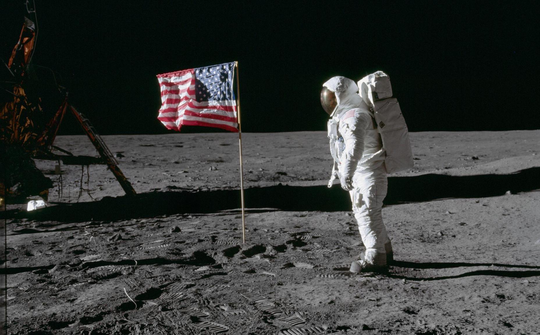
Image of Buzz Aldrin by NASA. Cropped.
Take a look at the EXIF data :)